
Property encroachment is a common issue faced by landowners, particularly in cases involving vacant plots, inherited land, or properties that are not regularly visited. It rarely begins as a direct dispute. More often, it develops gradually due to unclear boundaries or reliance on outdated methods of demarcation. When you notice a neighbor encroaching your property, it is important to respond promptly and based on verified information.
A frequent cause of boundary confusion is the use of survey stones as permanent markers. These stones are movable and, in many cases, have already shifted over time. Verifying their position requires the involvement of licensed surveyors, which often becomes difficult and time-consuming by the time disputes arise. As a result, assumptions made years earlier can turn into serious ownership conflicts.
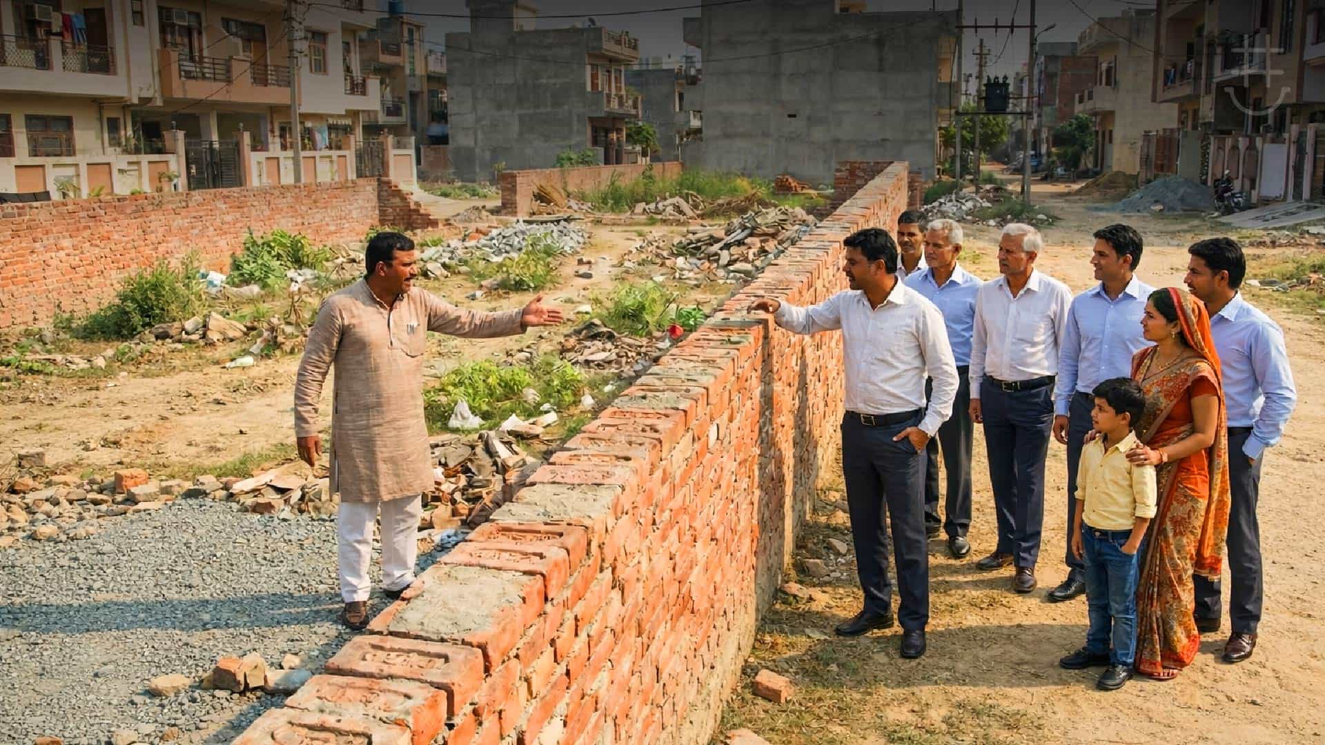
Establishing Whether Encroachment Has Occurred.
Encroachment generally involves any form of occupation or usage that extends beyond a legally defined boundary. This may include:
- Construction such as compound walls or building extensions
- Placement of sheds, access paths, or parking areas
- Laying of pipelines, drainage lines, or utility cables
Even limited or repeated usage can amount to encroachment if it crosses the legal boundary. Visual indicators alone are not sufficient to determine ownership. Boundaries must be established through official records and verified measurements.
Verifying Boundaries Through Official Records
Before engaging with a neighbor, it is advisable to confirm property boundaries using available documentation. This typically includes the sale deed, survey sketch, and the FMB, or Field Measurement Book. The Field Measurement Book forms the technical basis for identifying land boundaries as recorded during official surveys.
One aspect often overlooked in boundary verification is the role of diagonal directions mentioned in the FMB. While length and breadth measurements are commonly referred to, diagonal references are critical in accurately determining the shape and orientation of a plot. This becomes particularly relevant in irregular layouts or older survey divisions, where relying only on straight measurements may lead to incorrect conclusions.
Once boundaries are verified, maintaining proper records is essential. Photographs, videos, and documentation of ongoing usage or construction help establish facts if the matter progresses further.
Responding to Encroachment and Legal Considerations
After confirming boundaries, the next step is to communicate the findings clearly and professionally. Many encroachment issues are resolved at this stage once verified records are shared. If the issue persists, legal advice should be sought without delay.
Prolonged inaction carries risks. One of the more serious implications is adverse possession, where continuous, open, and uncontested use of land over a legally prescribed period may result in an ownership claim. This risk is higher when land remains unattended or when no formal objection is raised over time. Early documentation and assertion of ownership play a key role in preventing such outcomes.
Preventing Encroachment Through Ongoing Oversight
While legal documents establish ownership, they do not provide ongoing visibility into how land is being used. This is where consistent oversight becomes important. Secure My Plot (SMP) supports landowners by giving importance to diagonal directions during boundary verification and monitoring, ensuring alignment with Field Measurement Book records rather than assumptions based on movable markers.
Through Remote Property Monitoring, landowners can remain informed about their land assets even when they are not physically present. Early visibility into unauthorized usage or boundary-related changes allows timely intervention, reducing the likelihood of disputes or adverse possession claims.
For landowners managing property remotely, structured monitoring and verified boundary data provide a practical layer of protection. When combined with accurate records and timely action, these measures help ensure that land remains clearly defined, protected, and under the owner’s control over the long term.